Advanced GPS Satellite Navigation for Vehicles
This article explores the workings of vehicle GPS navigation systems, highlighting key components like satellite signals, sensors, map databases, and voice guidance. It explains how these systems help drivers find optimal routes, avoid traffic, and reach destinations efficiently. Emphasizing user-friendly language, the article offers insights into modern GPS technology and its benefits, emphasizing safety and convenience. Perfect for anyone interested in automotive navigation tools, the content provides a comprehensive overview of how GPS systems enhance driving experiences with real-time traffic updates and route optimization features.
Vehicle GPS Navigation Systems
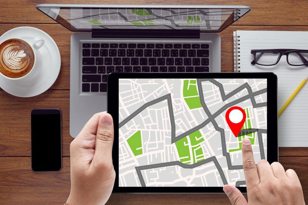
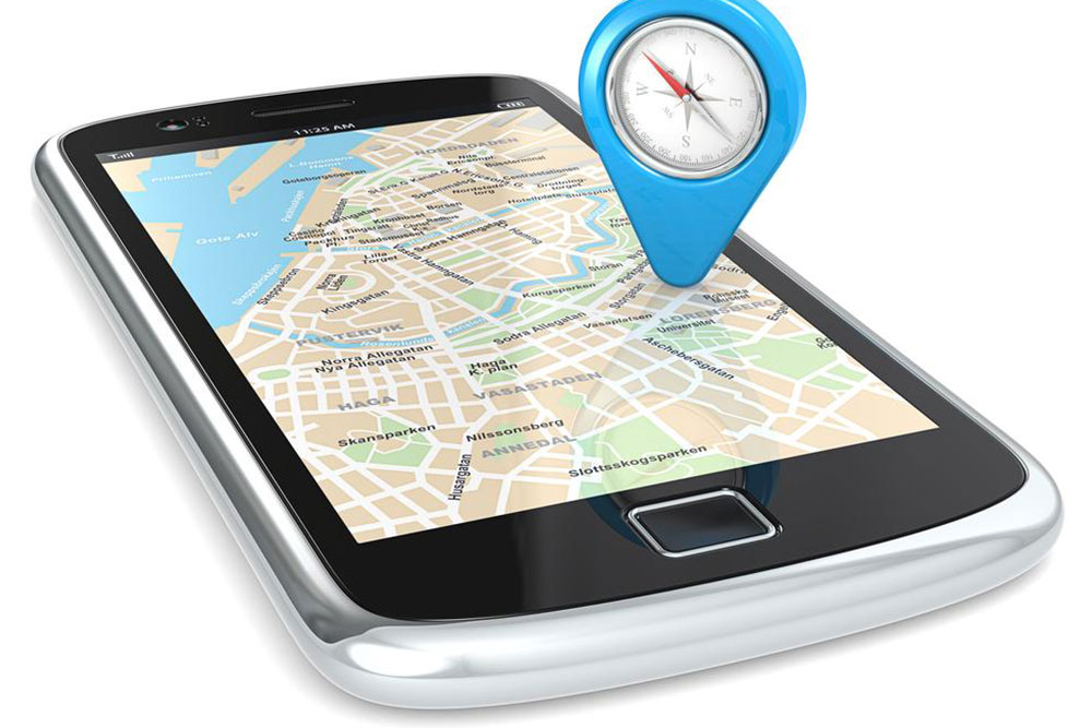
GPS technology plays a vital role in modern vehicle navigation, making travel easier and safer. With smartphone apps integrated with GPS, many drivers rely on digital navigation tools, although they require internet access for full functionality. These systems include various features designed to enhance the driving experience, including safety and convenience. This overview explains how vehicle GPS navigation functions in simple terms, highlighting the key components and their roles in providing accurate directions and traffic updates. Numerous devices on the market boast diverse functionalities to suit different needs.
The GPS antenna receives satellite signals critical for positioning.
Direction sensors identify the vehicle’s travel orientation.
Speed sensors monitor the current speed, helping calculate remaining travel distance.
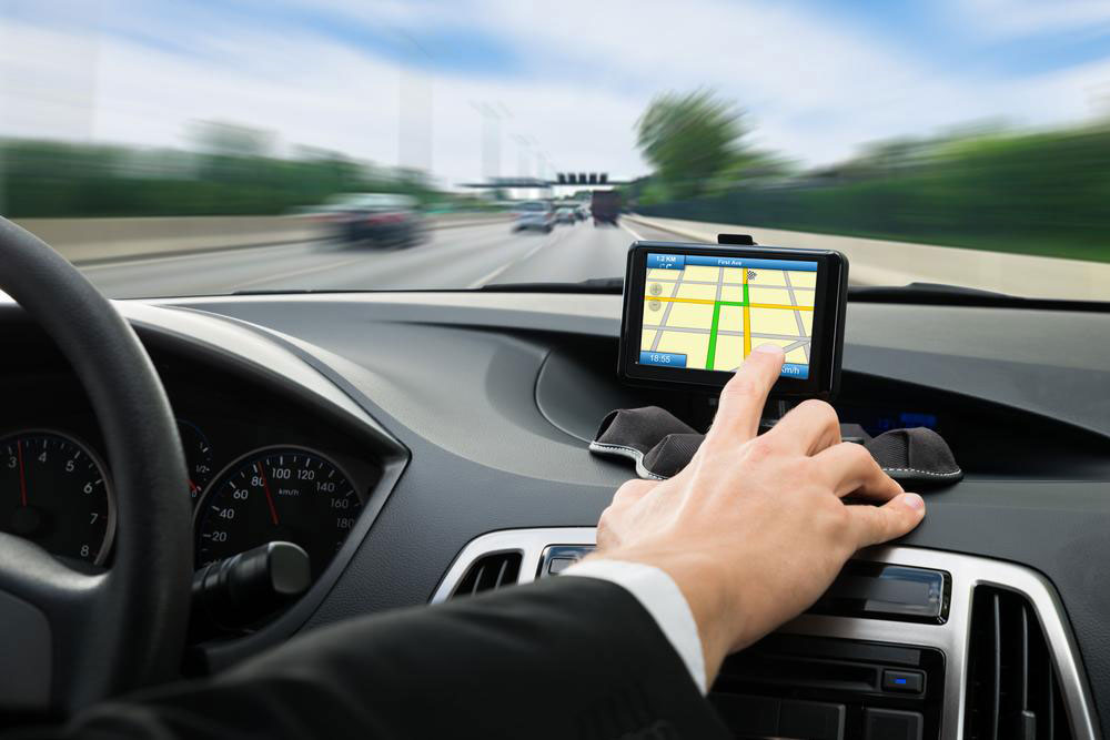
The display screen presents navigation data visually.
The map database compares inputs from satellites and sensors, providing real-time updates via the control system to help locate the vehicle precisely.
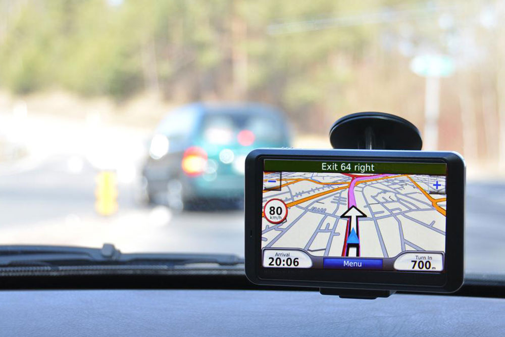
The navigation unit, acting as the system’s core, processes all data, determines real-time location, and predicts arrival times based on current speed and distance left.
It also updates the driver on remaining distance and time.
One key feature includes route planning, which analyzes traffic conditions across multiple routes to avoid congestion and delays.
These capabilities depend on four databases:
Road network details, including structure and connectivity.
Background geographic information like rivers and railroads.
Site data such as landmarks, addresses, and infrastructure.
Voice guidance data for spoken directions.
The system first establishes your current position, then identifies your destination, and finds the optimal route—shortest and fastest. It constantly monitors traffic and suggests alternative paths if needed.
Traffic updates from authorities and other drivers are integrated to keep routes clear, ensuring a smooth journey.