Understanding How Satellite Navigation Systems Operate
This article explains how satellite navigation systems like GPS work, highlighting satellite formations, triangulation techniques, and the key components involved in providing accurate global positioning. It covers the fundamentals behind satellite signals, orbital mechanics, and the technology enabling precise location tracking worldwide.

Understanding How Satellite Navigation Systems Operate
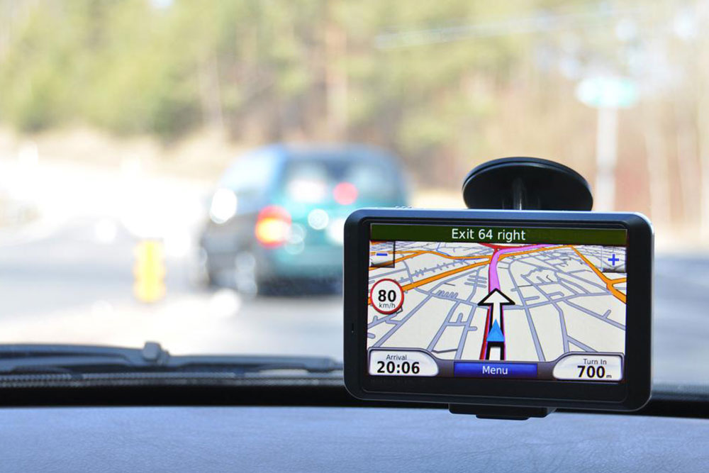
Satellite navigation systems are essential tools for modern positioning and mapping. Focusing on the prominent US GPS system, it comprises 24 satellites orbiting Earth continuously. These satellites circle the planet at an altitude of roughly 20,000 km and complete two orbits daily, maintaining visibility from various locations worldwide.
This constellation ensures that at least six satellites are visible at any moment, with only three needed for accurate positioning. The system includes three main components: space segment (the satellites), ground segment (control stations and antennas), and user equipment (receivers). Through a process called triangulation, signals from satellites help determine precise locations. The receiver calculates position by measuring signal travel times, considering factors like atmospheric interference and orbital parameters. This technology enables accurate navigation in diverse environments.
Global Positioning System
Satellite Navigation
Triangulation
GPS Technology
Geolocation