Types of Reference Maps and Their Uses
Discover the different types of reference maps, including political, physical, topographic, and geologic maps. Learn how these maps assist in navigation, understanding landscapes, and supporting various professional fields. Accessible online or in atlases, reference maps are vital tools for geographic orientation and spatial analysis across many industries.
Exploring Various Types of Reference Maps
Since ancient times, different types of maps have served to improve our understanding of the world. While some aid in navigation, others display borders, place names, and geographical features. Specialized maps assist meteorologists in weather forecasting, rainfall analysis, and environmental studies. Generally, maps fall into two categories: reference and thematic. This article details various types of reference maps and their functions.
Overview of Basic Reference Maps
These maps are commonly taught in schools. They depict locations of cities, towns, and major transportation routes such as highways.
Natural features like rivers, lakes, and mountain ranges are also shown. These maps are straightforward and helpful for navigation, providing guidance to locate places or landmarks. They are essential tools for identifying geographic regions.
Categories of Reference Maps
Political Maps: These are the most common maps used in educational settings, illustrating country, state, and regional boundaries, as well as water bodies such as oceans, seas, lakes, and rivers. Examples include world maps and regional maps available online.
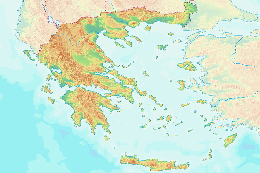
Physical Maps: This type emphasizes landscape features. Using color codes, they represent elevation, landforms, and terrains; water in blue, land near sea level in dark green, and glaciers in white. They are useful for understanding topography and environmental features.
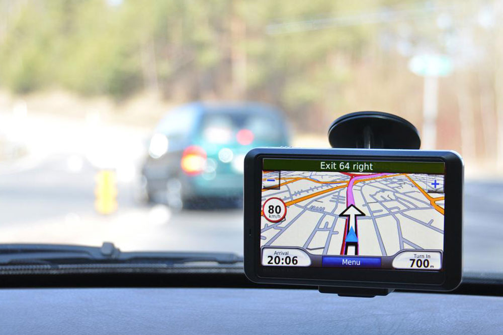
Road Maps and City Guides: Designed to show streets, highways, and local routes, tools like Google Maps fall into this category. They help travelers navigate unfamiliar areas, locate points of interest, or plan routes efficiently.
Topographic Maps: Similar to physical maps, but they use contour lines instead of colors to depict elevation and land forms. These maps are favored by hikers, mountaineers, geologists, surveyors, and military personnel for their detailed terrain representation.
Time Zone Maps: These maps depict global time zones using different colors and numbering, helping users understand time differences across regions. They are valuable for international communication and business operations.
Geologic Maps: Showing subsurface rock types and sediment layers, geologic maps use color distinctions to indicate mineral composition. Used by engineers and geologists, they often include cross-sectional views of the earth's interior.
Zip Code Maps: These maps define area boundaries based on postal zones. They assist mailing services and, when combined with demographic data, enable businesses to identify market segments in specific regions.
Modern technology allows easy access to all map types via online searches, atlases, or libraries. Reference maps greatly enhance spatial understanding, from topography and time zones to local points of interest, often integrated seamlessly into navigation devices.
Note:
Our blog offers diverse informational content for general interest and practical use. While based on thorough research, articles may not reflect the latest data or regional specifics. Users should verify details from additional sources, especially regarding offers and schemes that might be more relevant elsewhere.