The Critical Role of Weather Radars in Forecasting Weather Conditions
Weather radars are vital tools in modern meteorology, enabling precise detection of precipitation, storm analysis, and short-term weather forecasts. Utilizing microwave technology, these radars help meteorologists track and predict severe weather events effectively. Their development was influenced by wartime applications and has advanced into sophisticated systems used globally for accurate weather analysis and forecasting.
Understanding Weather Radars and Their Impact on Weather Forecasting
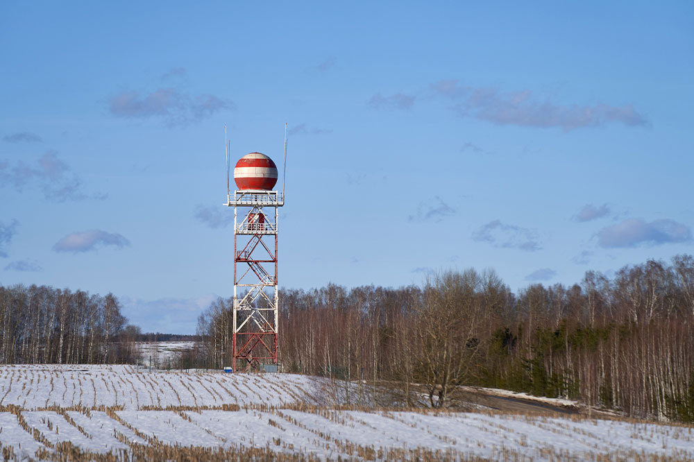
Weather radars, also known as Doppler weather radars or weather surveillance radars (WSR), are essential tools for detecting precipitation, assessing its movement, and identifying its type—such as rain, snow, or hail. Modern radars mainly utilize pulse-Doppler technology, which detects the motion of raindrops and measures precipitation intensity. This data helps meteorologists analyze storm structures and assess potential severe weather threats.
During World War II, radar operators observed that weather conditions caused echoes on their screens, obscuring enemy targets. This observation led to the development of techniques to filter out such anomalies, fostering advancements in weather radar technology. Today, radars are integral to national weather agencies, research institutions, and media outlets. They support short-term forecasts by providing data on precipitation movement and intensity, which are integrated into predictive models to enhance weather forecasts.
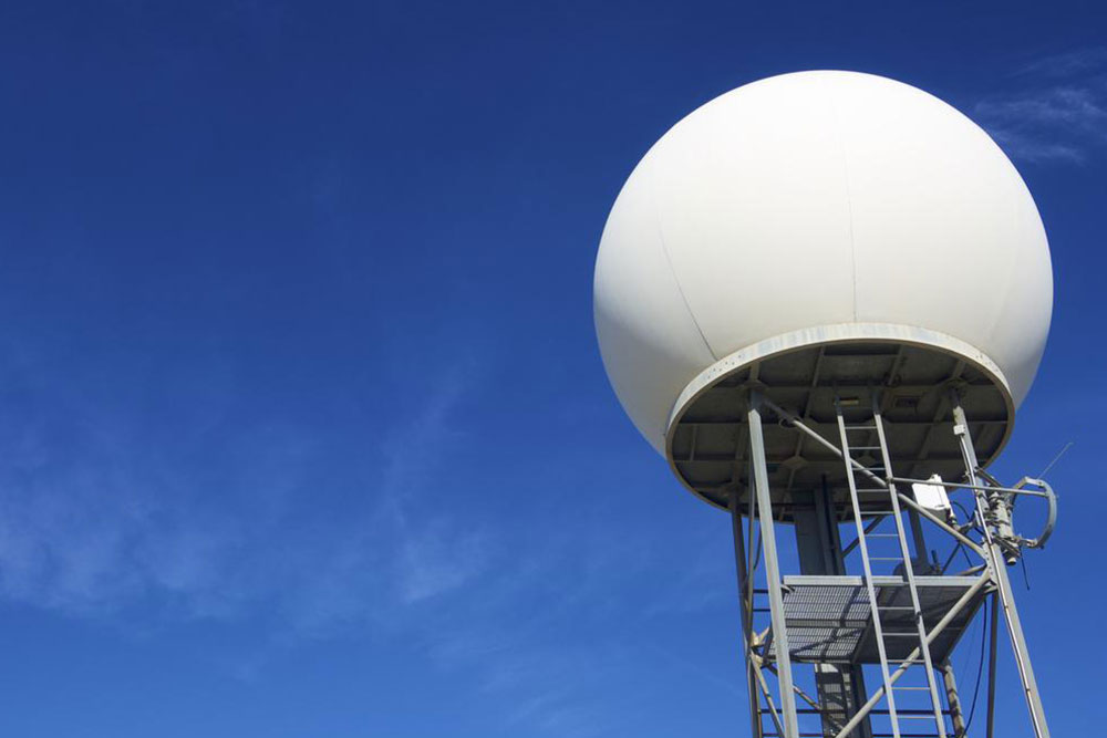
Weather radars emit microwave pulses through directional antennas, using devices like magnetrons or klystrons. These pulses have wavelengths around 10 centimeters, ideal for detecting water droplets and ice particles. Different frequencies serve various purposes—from broad-area detection to detailed research on phenomena like fog and drizzle.
As radar signals travel outward, they spread over larger volumes of air, which affects resolution at greater distances. For example, at ranges beyond 150 km, a single pulse scans an area roughly a cubic kilometer. Understanding these parameters allows meteorologists to interpret radar data accurately and improve weather prediction accuracy.
Note: Our blog provides diverse, practical information across multiple categories, based on thorough research. While we strive for accuracy, readers should consider that some data might vary across sources. We do not guarantee the completeness or currency of all information presented, and are not responsible for discrepancies or missed opportunities.