Understanding the Three Main Types of Satellite Images
Discover the three key types of satellite imagery—visible, infrared, and water vapor—and their applications in weather forecasting, mapping, and environmental studies. Learn how satellites capture Earth's surface features and how this technology aids various industries, from meteorology to defense. Understand the evolution of satellite images since 1959 and their importance in modern science. This overview highlights the significance of satellite imaging for real-time Earth observation and decision-making, emphasizing its broad utility and technological advances.
Understanding the Three Main Types of Satellite Images
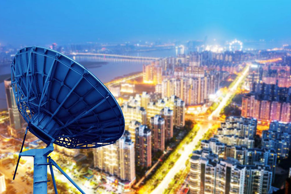
Satellite imaging, also known as remote sensing, involves capturing images of the Earth's surface from satellites or high-altitude aircraft. Various satellites equipped with specialized sensors scan the planet, each designed for specific applications. These sensors detect electromagnetic radiation reflected or emitted by surfaces, including infrared, ultraviolet, and microwave wavelengths. Since humans can only see a small portion of this spectrum, satellite images often display these wavelengths as visible colors, resulting in distinctive and sometimes surreal visuals.
Different surfaces respond uniquely to sunlight and radiation, aiding in object identification from space. For example, smooth surfaces like roads reflect most energy directly back (specular reflection), while rough surfaces like forests scatter radiation in all directions (diffuse reflection). This variation allows for detailed analyses, such as monitoring plant health via infrared wavelengths. Satellite imaging technology supports real-time Earth observation tools like Google Earth and is used across many fields including weather tracking, mapping, and defense.
The primary types of satellite imagery are:
Visible
This type captures images similar to photographs seen by the human eye, reflecting sunlight off surfaces. It works well during daytime but has limitations at night or amid cloud cover, making it difficult to distinguish certain features like snow and ice from clouds. Changes over short periods can help differentiate these elements because clouds move while snow remains stationary.
Infrared
Infrared imaging detects heat emitted by objects, allowing data collection both day and night. Since warmer objects emit more infrared radiation, this method helps assess plant health, identify fires, and analyze surface temperatures. However, some clouds can have temperatures similar to Earth's surface, creating challenges in interpretation. Combining infrared images with other data enhances accuracy.
Water Vapor
This less common imaging type measures moisture in the atmosphere, indicating humidity levels at various altitudes. It’s useful for studying weather systems and climate, displaying moisture content through distinct colors—dry areas appear different from humid ones.
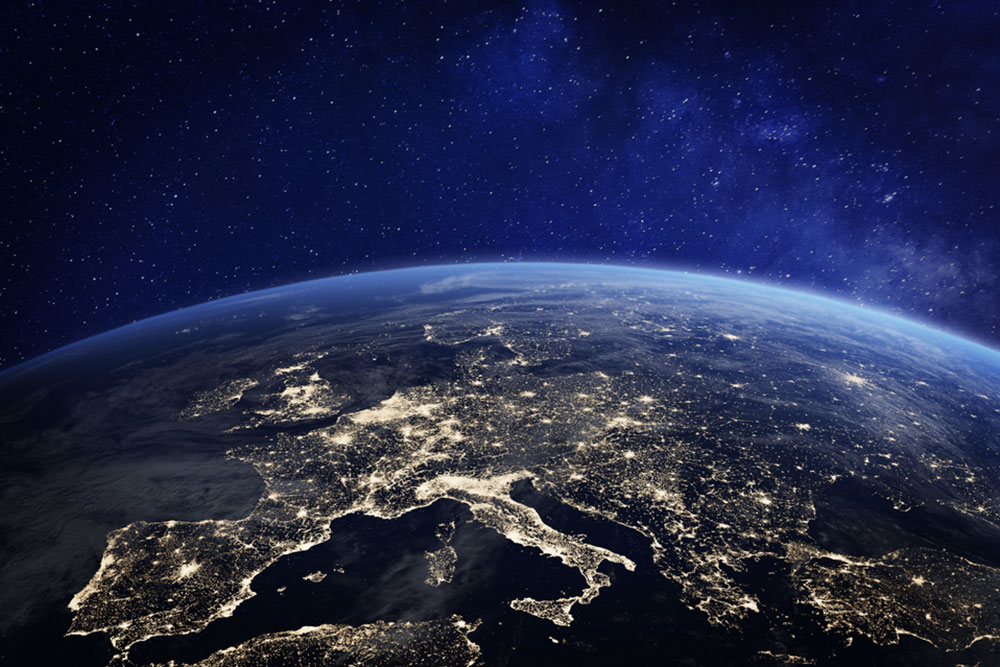
The first Earth image was captured by Explorer 6 in 1959, primarily to study atmospheric electric and magnetic fields. Its early photographs, like those of the Pacific Ocean, lacked details compared to today's high-resolution satellite images. Modern technology allows rapid, detailed imaging accessible via platforms like Google Earth and NASA.
In conclusion, satellite imagery plays a crucial role in meteorology, environmental monitoring, mapping, and national security. Its availability and versatility make it an invaluable resource for scientific and industrial purposes.