Cutting-Edge Technologies Transforming Weather Prediction Today
Explore the latest advances in weather forecasting technology, including Doppler radars, radiosondes, automated surface systems, satellite imaging, and data processing platforms. These innovations enhance forecast accuracy and enable early disaster warnings, improving safety and preparedness worldwide.
Cutting-Edge Technologies Transforming Weather Prediction Today
Advancements in weather forecasting technologies play a critical role in understanding climate patterns, especially amidst global climate change. Modern research centers leverage innovative tools to collect and analyze atmospheric data in real time. Numerous sensors and stations are strategically installed around the world to achieve highly accurate predictions. Here are five key technological breakthroughs that are revolutionizing weather forecasting services today.
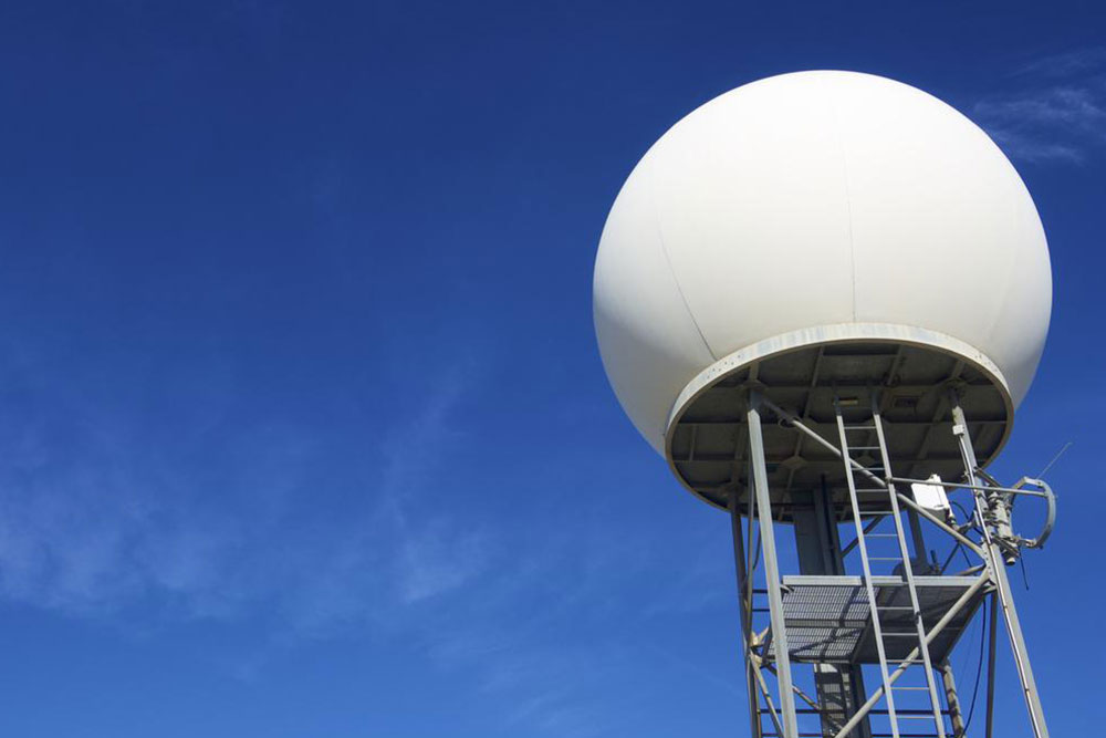
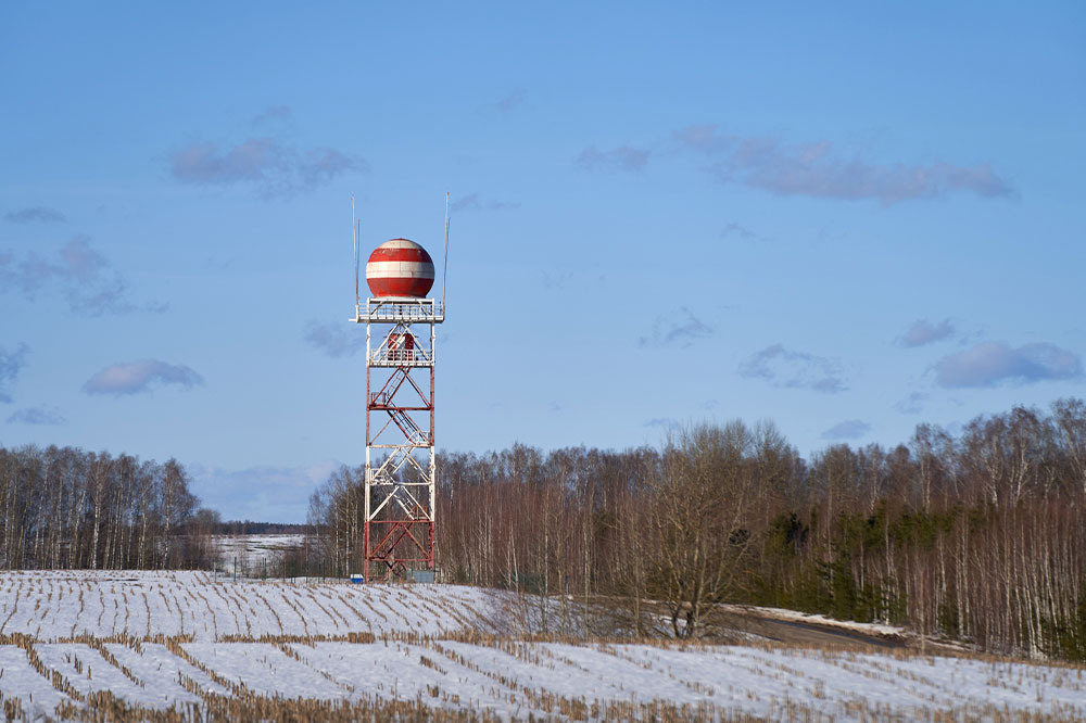
Doppler Radar Systems
Doppler radars utilize radar waves that reflect off atmospheric elements, providing detailed data about their position and movement. As the waves bounce back, they reveal not only the location but also the velocity of weather phenomena, such as storms. Enhanced with modern technology, these radars can transmit real-time insights into storm behavior, making them essential for coastal and inland weather monitoring. Over 150 radar stations operate nationwide, tracking evolving weather conditions with precision.
Radiosondes
Radiosondes are balloon-borne sensors that gather atmospheric data at various altitudes. These lightweight devices, equipped with sensors and powered by batteries, ascend to heights of up to 115,000 feet, transmitting crucial information on wind speed, temperature, and humidity back to ground stations. Typically, over 75,000 radiosondes are released annually to support accurate weather models. Their ability to operate in extreme cold and high altitudes makes them invaluable for detailed atmospheric analysis, aiding meteorologists in precise weather prediction over large regions.
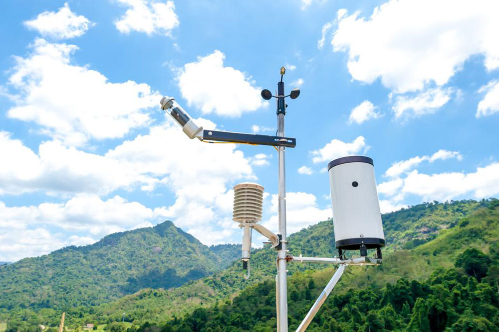
Surface Observation Systems (ASOS)
Ground-based Automated Surface Observing Systems (ASOS) complement radar and radiosonde data by providing continuous, real-time weather information at key locations. Developed through collaboration between the National Weather Service, FAA, and Defense Department, ASOS monitors parameters such as cloud height up to 12,000 feet, precipitation, wind speed and direction, and atmospheric pressure. These systems operate around the clock, offering vital data to enhance forecast accuracy and support aviation safety and disaster preparedness.
Weather Data Processing Platform (AWIPS)
AWIPS is a sophisticated data processing system that consolidates raw atmospheric data from radars, radiosondes, and ground stations. Using high-powered servers and satellite communications, AWIPS analyzes large datasets through advanced algorithms, generating detailed weather models. It integrates multiple data sources—satellite imagery, ground sensors, and atmospheric readings—across different locations, allowing meteorologists to produce reliable forecasts and share information seamlessly among prediction centers nationwide.
Weather Monitoring Satellites
Orbiting satellites are essential for comprehensive weather observation. Positioned over 22,000 miles above Earth, these satellites capture high-resolution images and atmospheric data, including moisture levels and cloud formations. They continually circle the globe, providing frequent updates that help track storm developments and climate trends. Satellite data supports accurate forecasting by offering a macro view of weather systems, enabling timely warnings for severe weather events.
Integrating these innovative technologies enables meteorologists worldwide to detect even minor atmospheric changes, ensuring early warnings for storms, cyclones, and other natural disasters. These advancements facilitate proactive responses, safeguarding lives and property through better prediction and preparedness strategies.